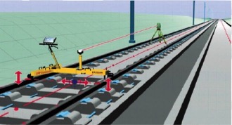
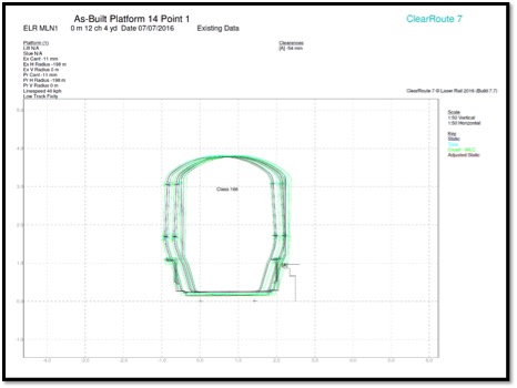
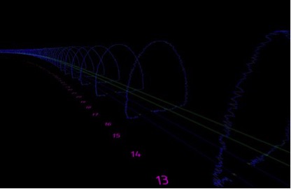
Co-ordinated topographical track surveys, providing XYZ coordinates of each rail, including simultaneous cant & gauge measurements. This enables us to carry out a precise survey very quickly compared with traditional methods. The surveys can be tied to local or OS grid coordinates using conversion software offering convenient usage tailored to each individual site.
Temporary designs can be produced using the on-board software. This has proved on numerous occasions to be a key tool in aiding the reinstatement of adjacent tracks that have been affected by lineside construction activities.


